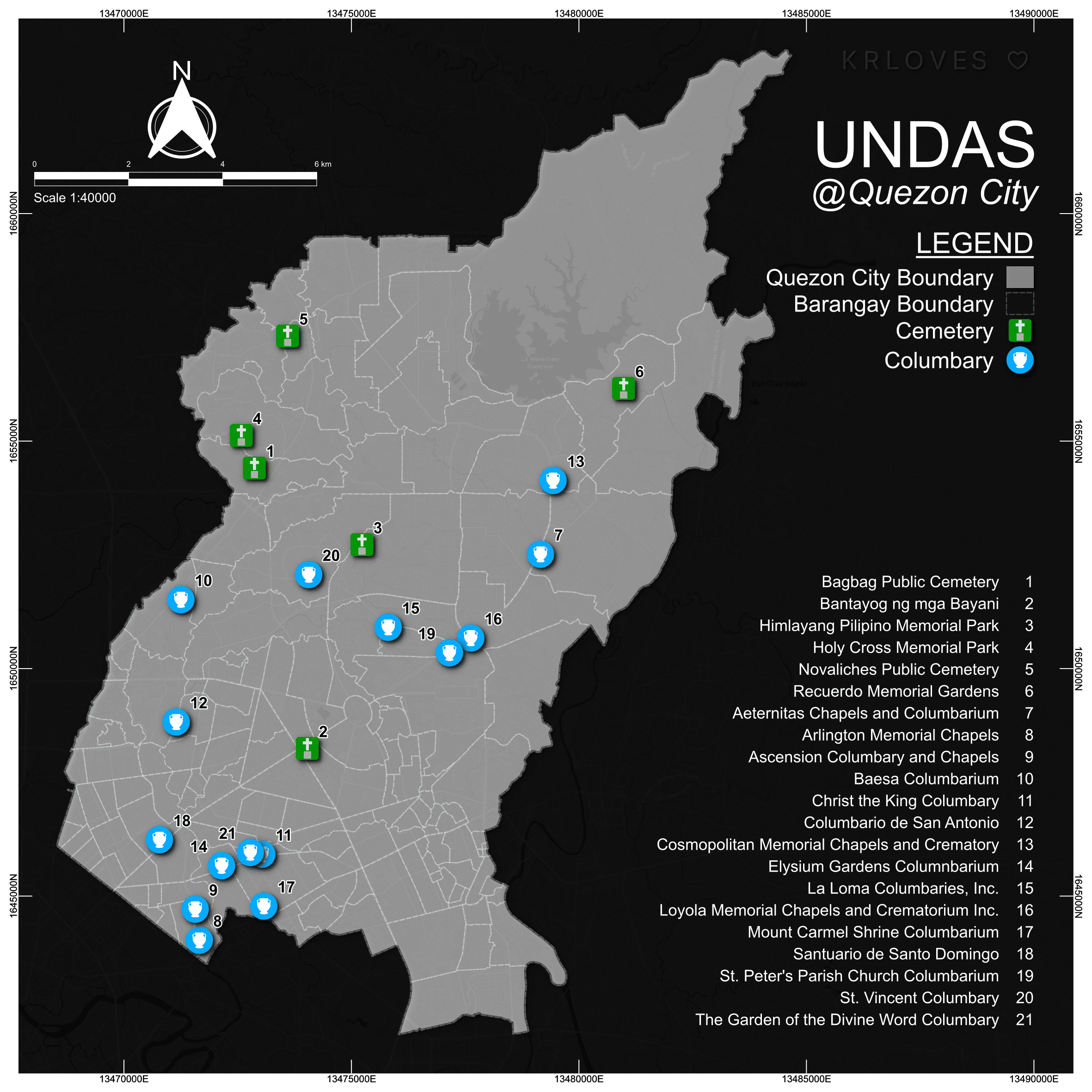
Day 1 — Points
UNDAS @ Quezon City
November 1 & 2 mark the Philippine regular holiday so to start the #30DayMapChallenge, I mapped several resting places I found through Google Maps, focusing on my home city — Quezon City.
Last November 2025, I took part in the annual mapping challenge which features unique themes for each day of the month.
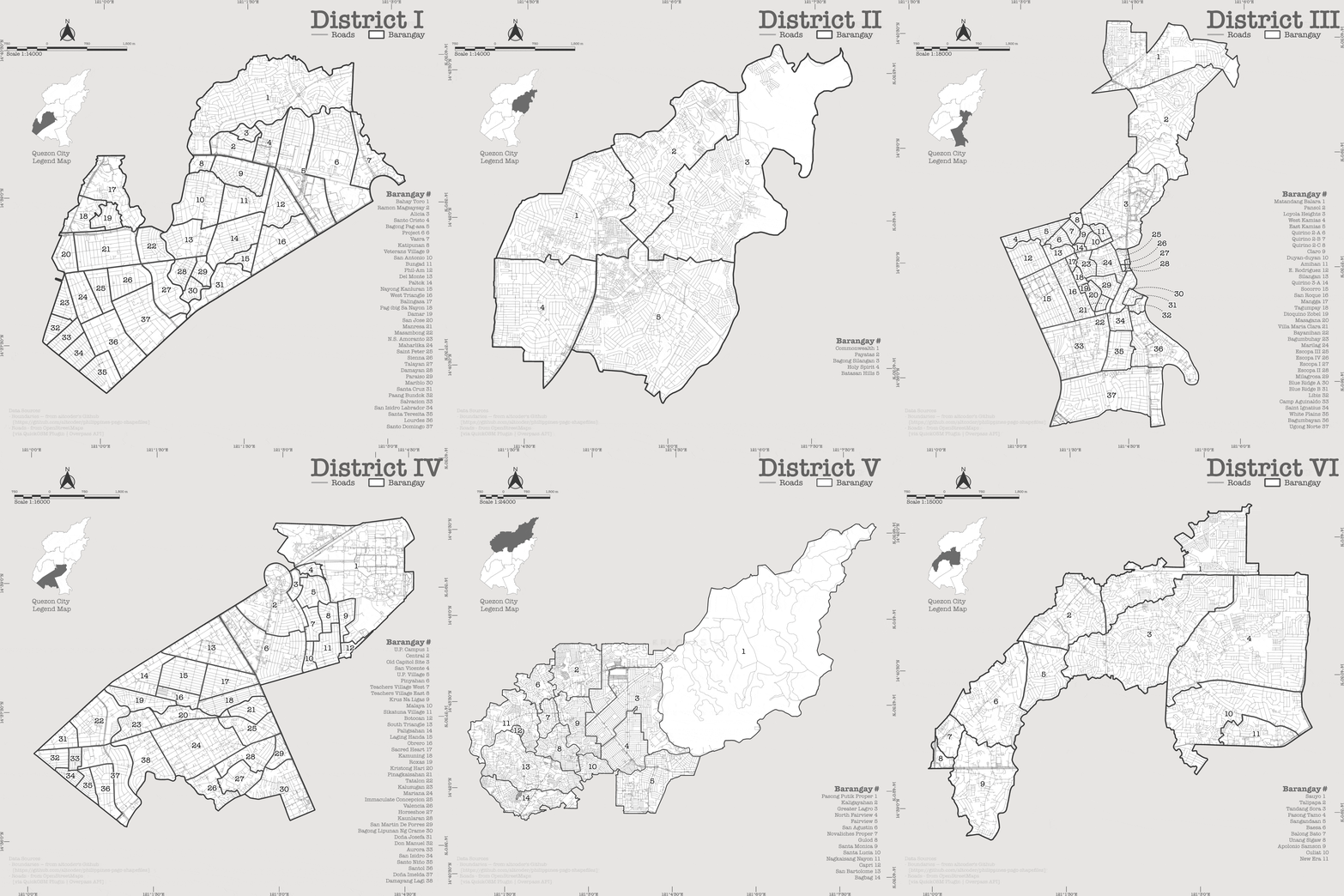
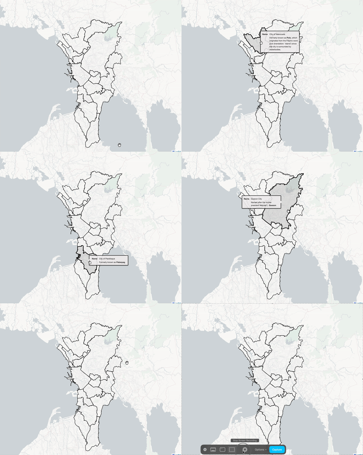
Cells form living things; barangays form the Philippines—my country. But for these maps—it will just be Quezon City 🌃 😄 Made this using QGIS' Atlas for faster processing + rendering.
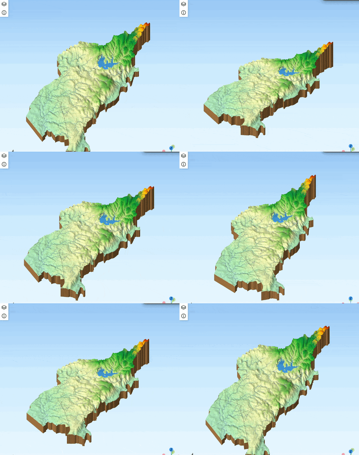
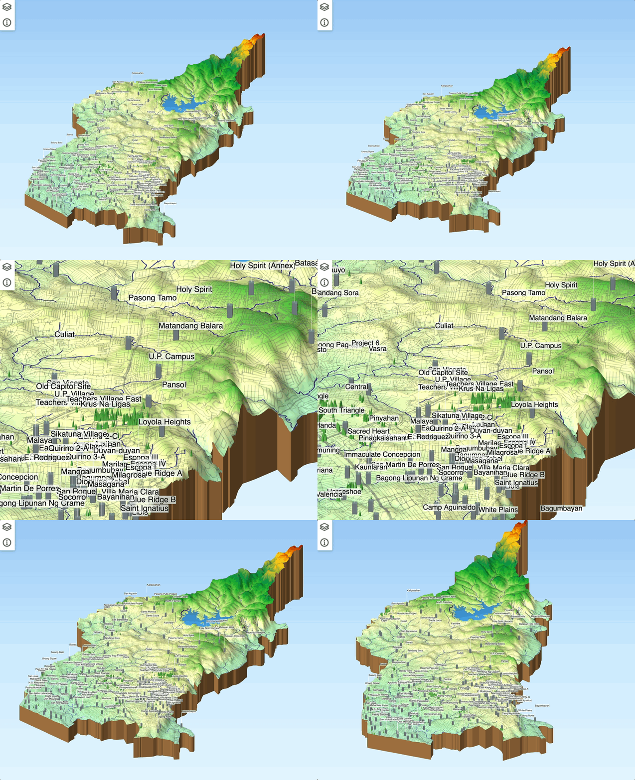
Visualization of Quezon City waterbodies draped over its digital elevation model (DEM).
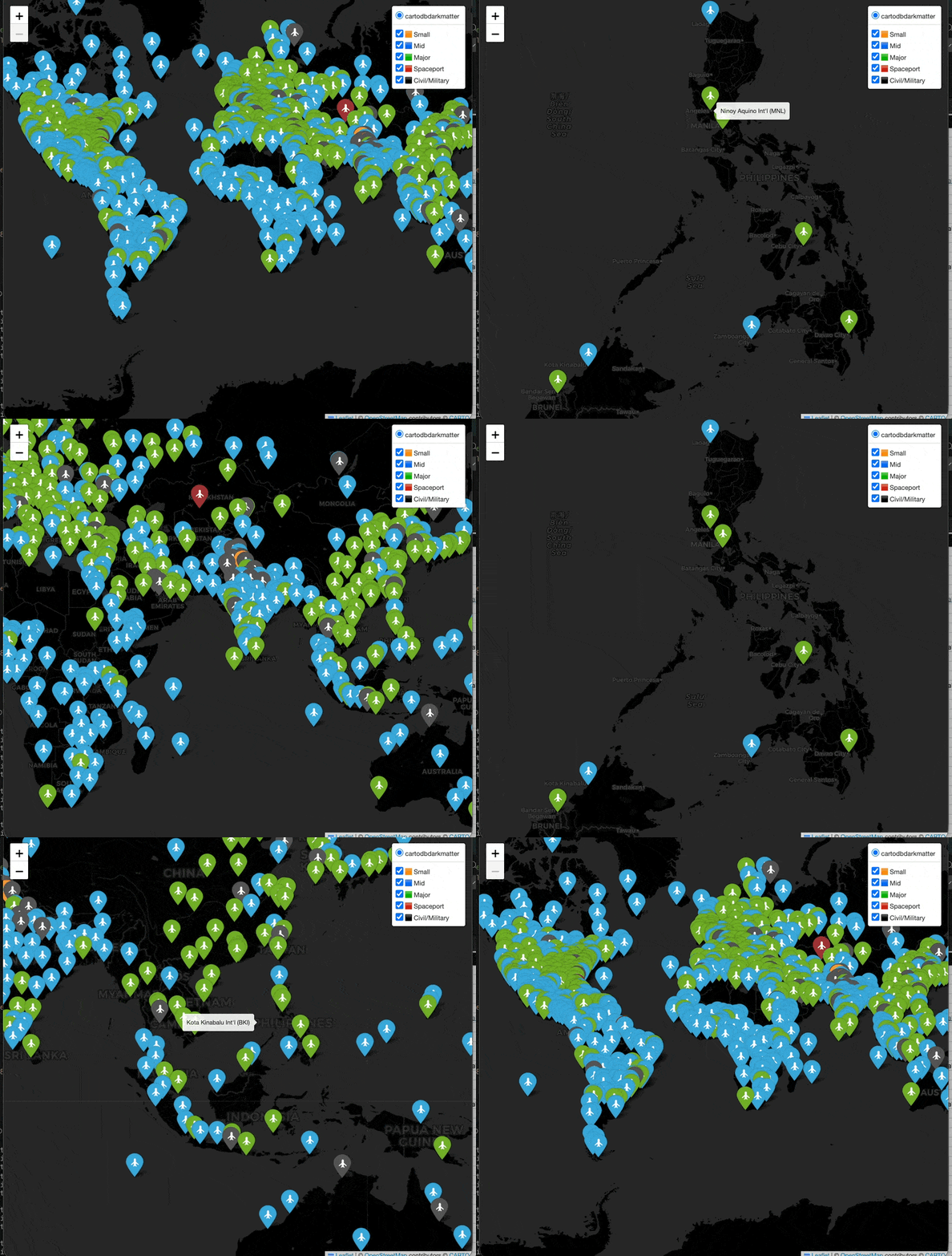
Simple leaflet map of airports hailed from Natural Earth Dataset
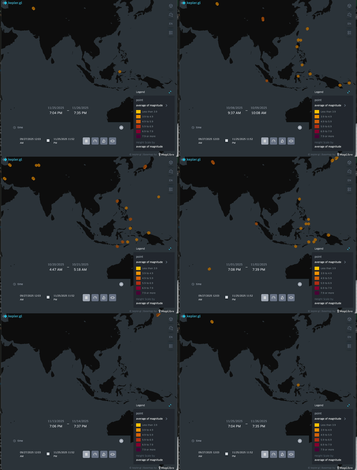
Mapped earthquakes around the world in Kepler.gl using data from the USGS Earthquake API.
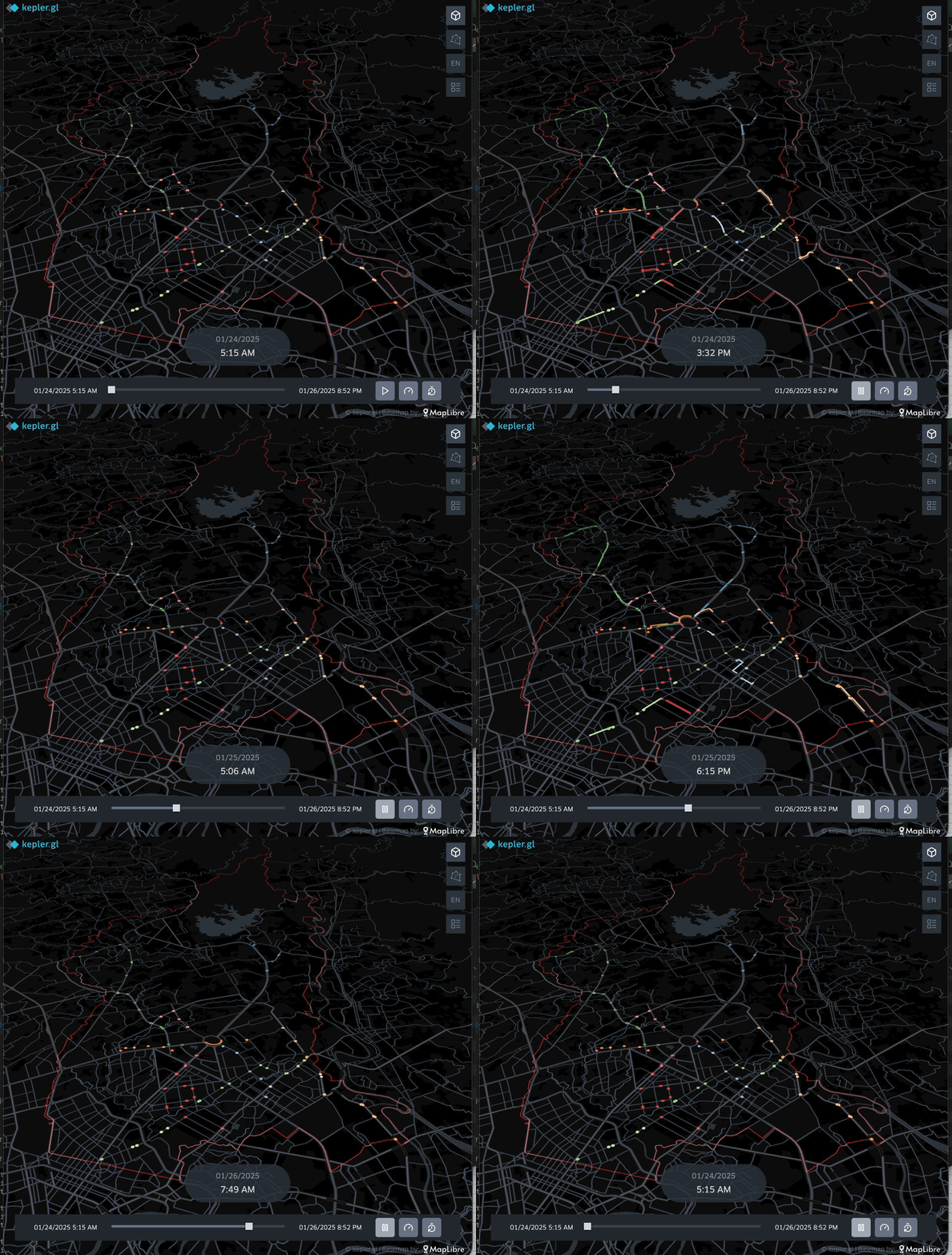
For the last day of the hashtag#30DayMapChallenge 2025, I upgraded Day-8's map (one route only). Now I plotted all QC bus routes using synthetic timestamps based on the local government's bus schedules.
Here's the gallery of my other entries for the event. Enjoy! :)
November 1 & 2 mark the Philippine regular holiday so to start the #30DayMapChallenge, I mapped several resting places I found through Google Maps, focusing on my home city — Quezon City.
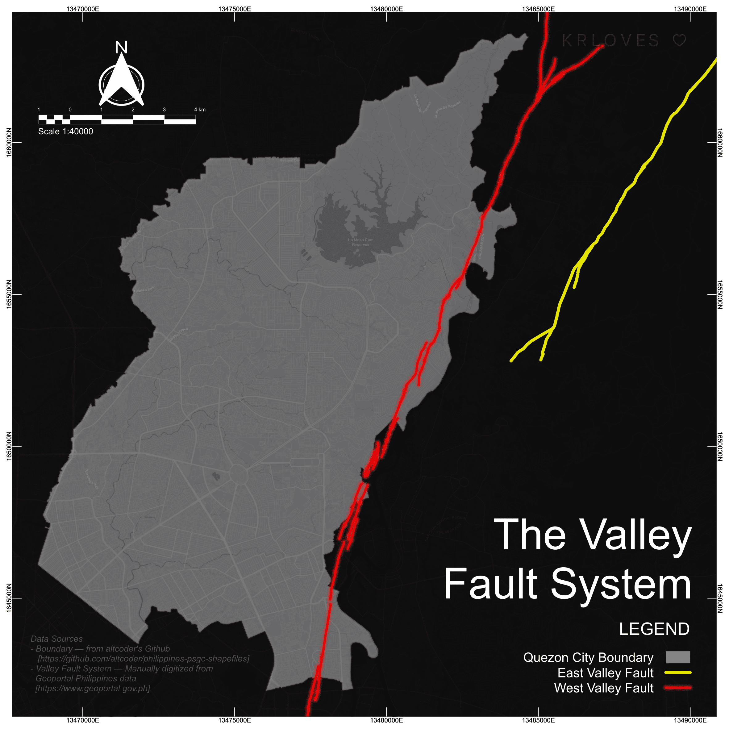
Valley Fault System — the lines looming over the metro and how close they lie to Quezon City.
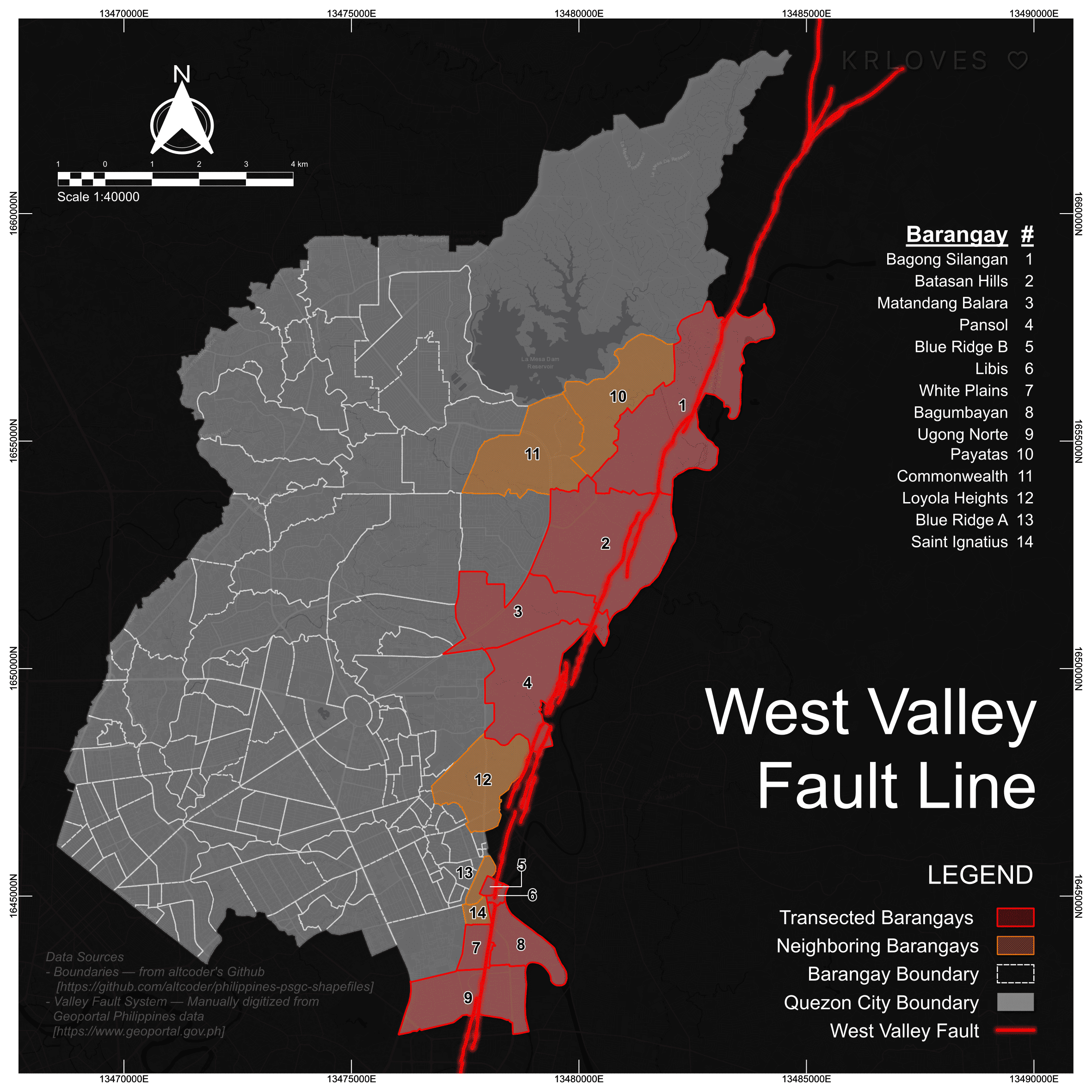
In connection with yesterday's map, this one highlights the barangays transected by the West Valley Fault Line (+ neighboring barangays).
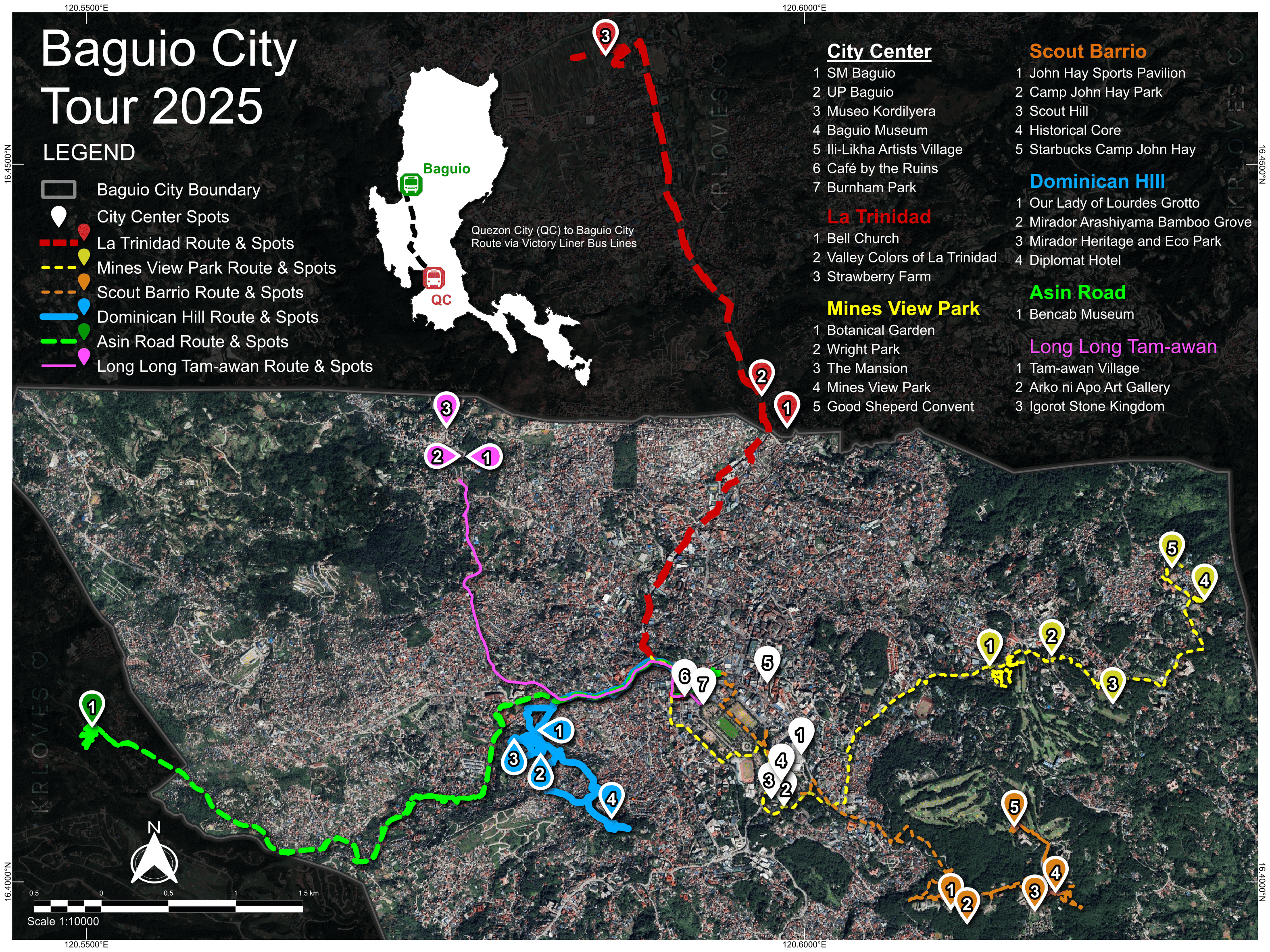
My DIY Baguio tour is my entry for today :D The lines/routes drawn were recorded using GeoTracker while riding jeeps to various destinations.
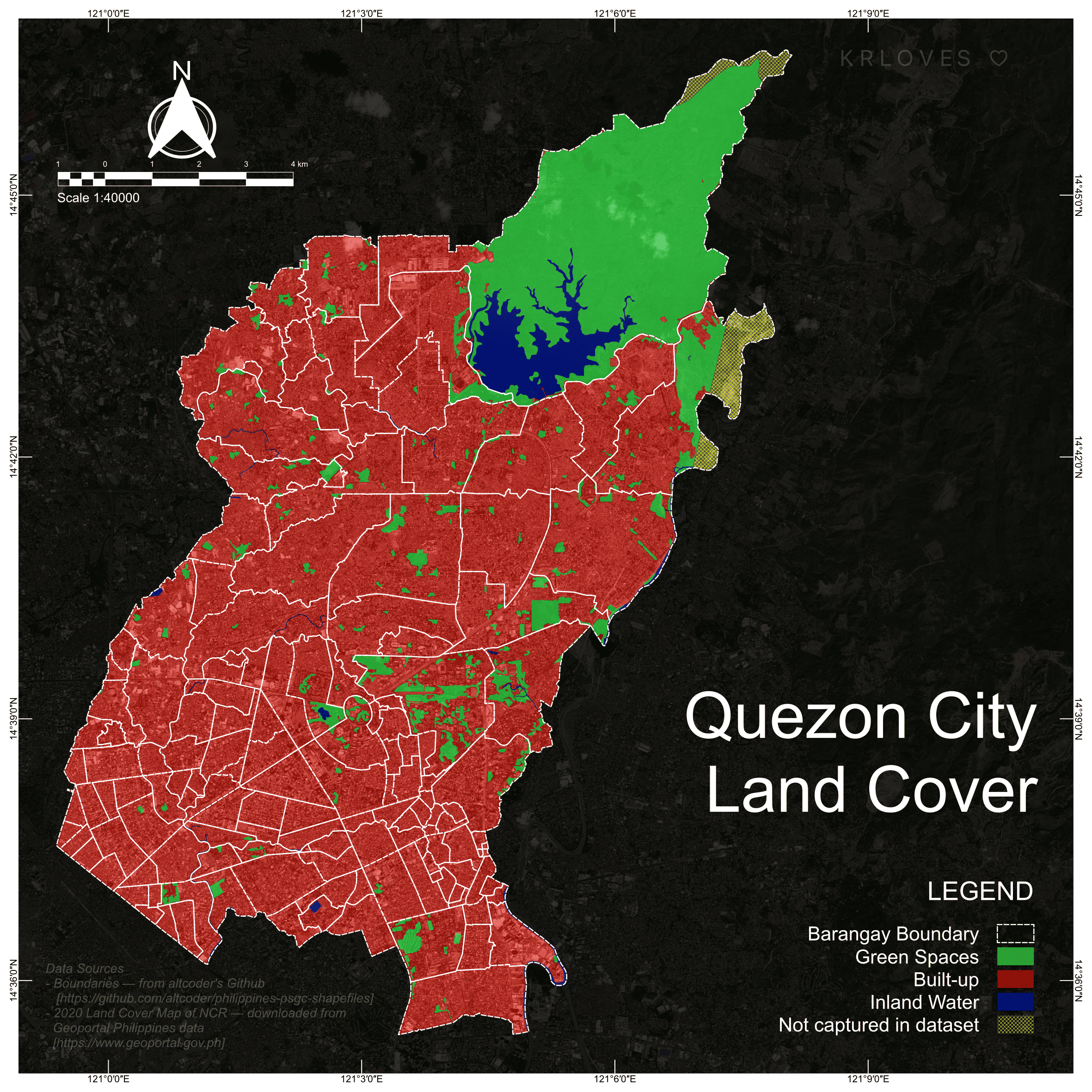
Mapping Quezon City’s land cover to show how QCitizens and nature share the same ground. Classic map for a classic element :D
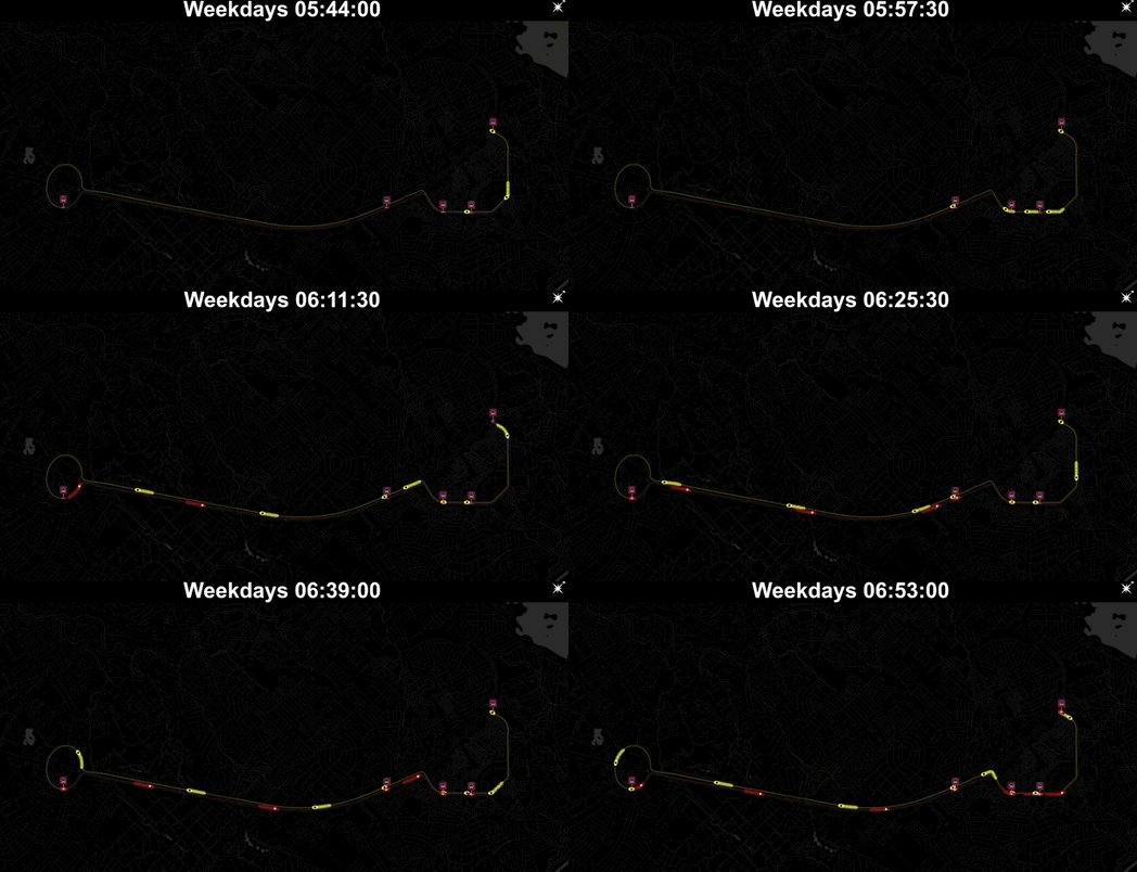
The Quezon City Government has a program called "Libreng Sakay sa QCity Bus Service" which, as the name suggests, offers free bus rides across 8 routes. Only the first hour of Route #2's operation is visualized here.

For today's map, I drew a set of contour lines by hand. Phew!
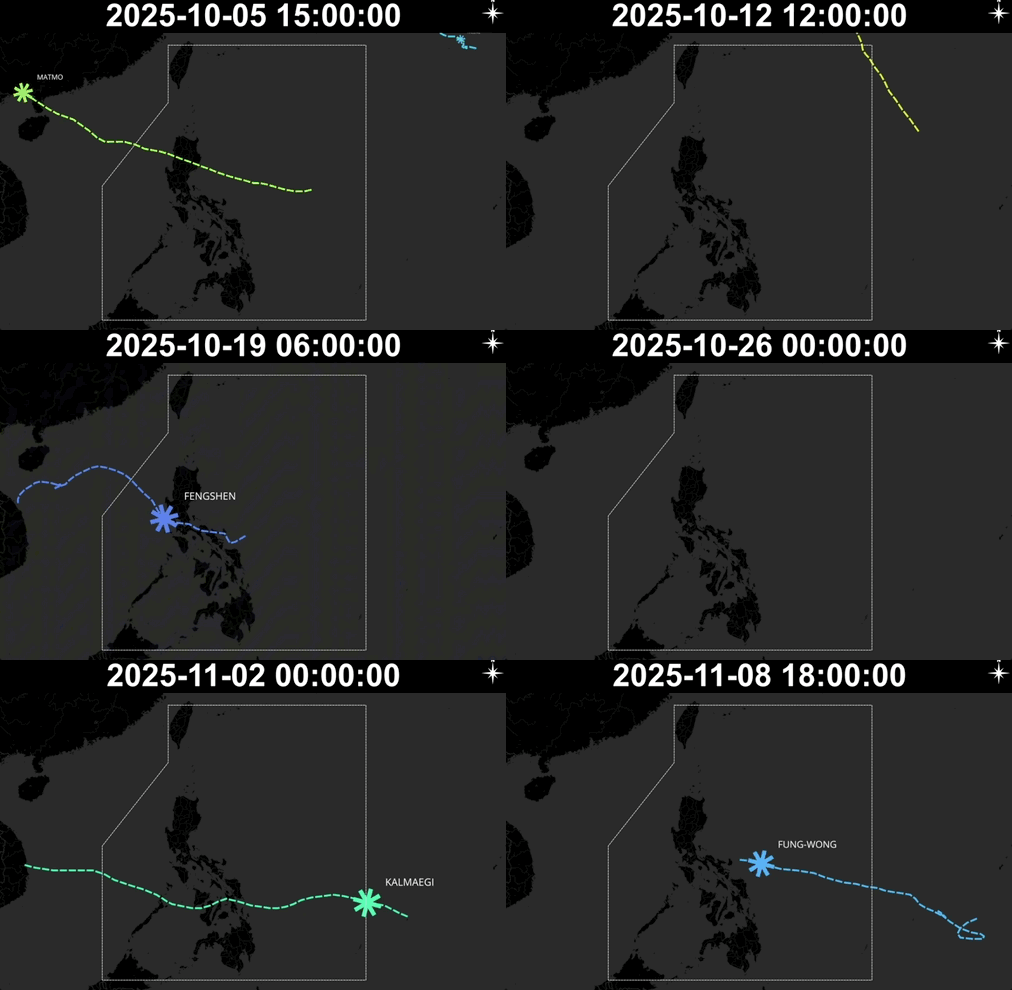
The Philippines formula — 50% country, 50% typhoon barricade.
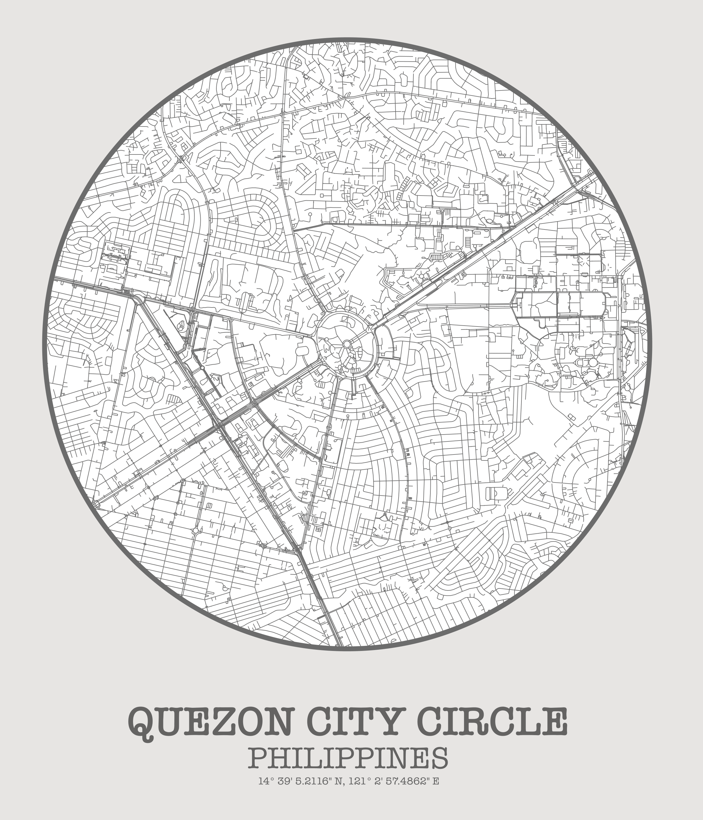
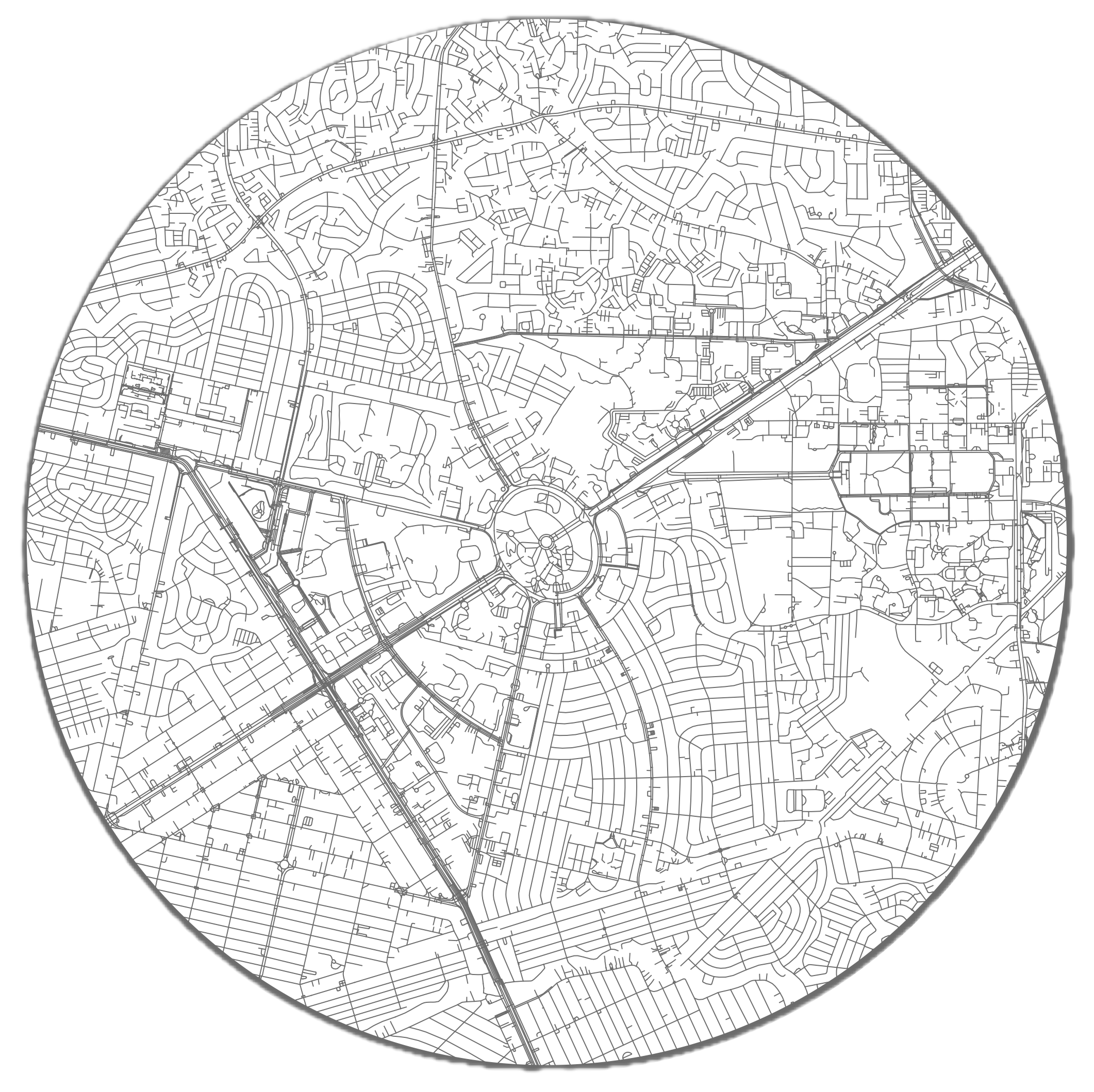
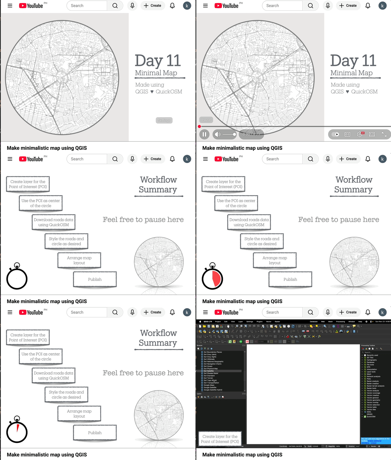
Featuring Quezon City Circle at the middle of the space bounded by the Elliptical road.
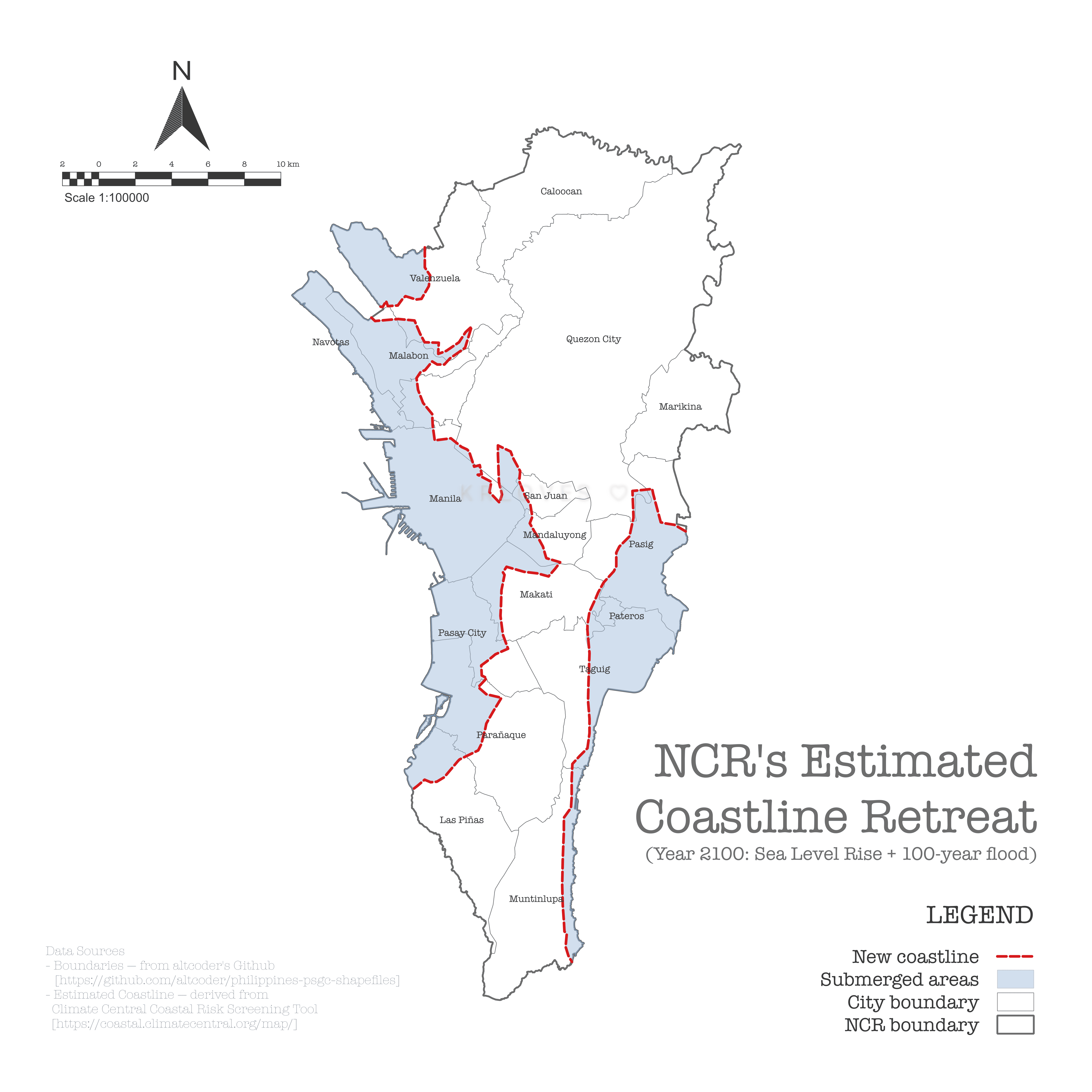
I’m 25 years short (hehe), but nevertheless, I found this online tool called Climate Central – Coastal Risk Screening Tool, which forecasts sea level rise based on various parameters (the ones I used are in the comments).
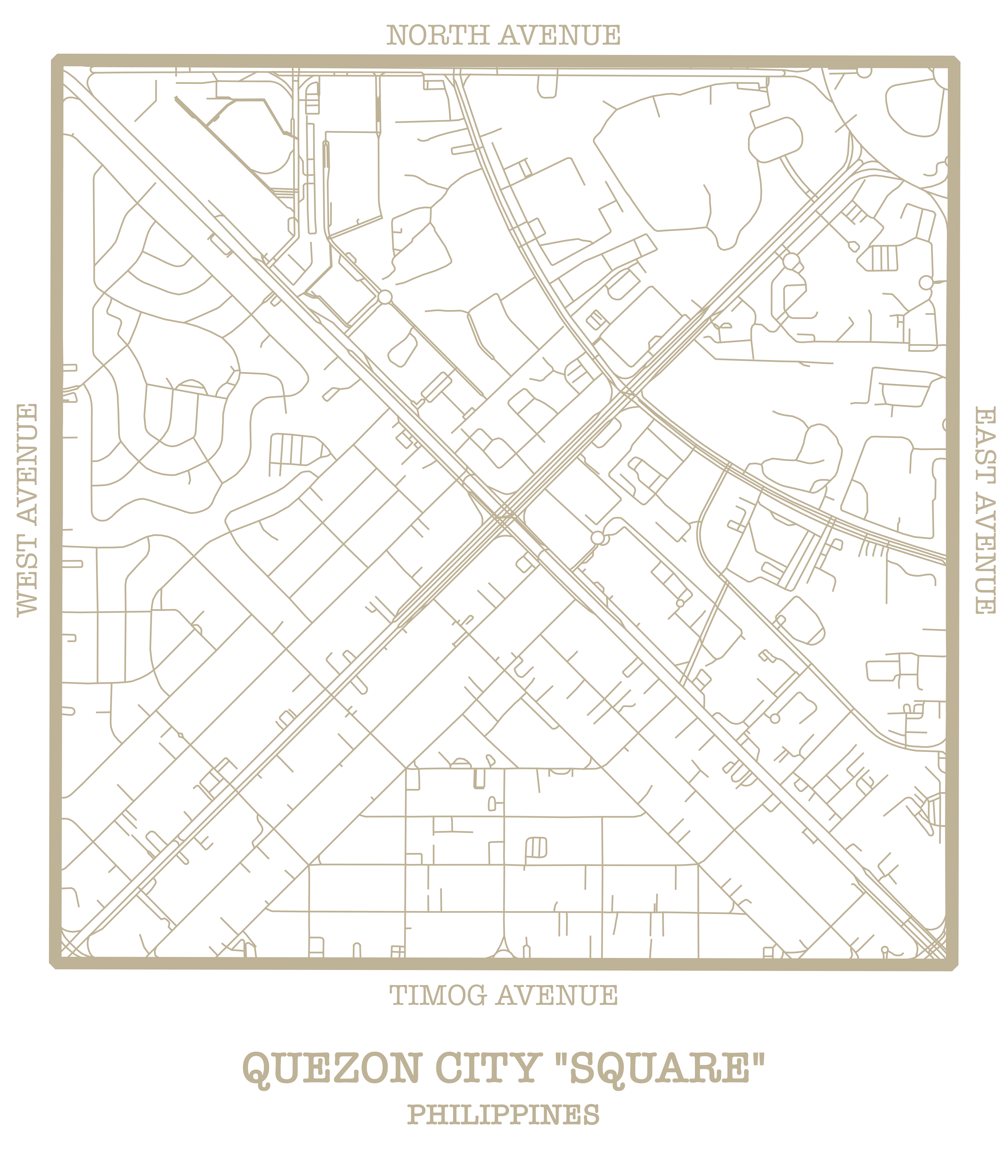
Following Day 11's QC Circle, here comes its neighbor — the QC “Square.” 😄
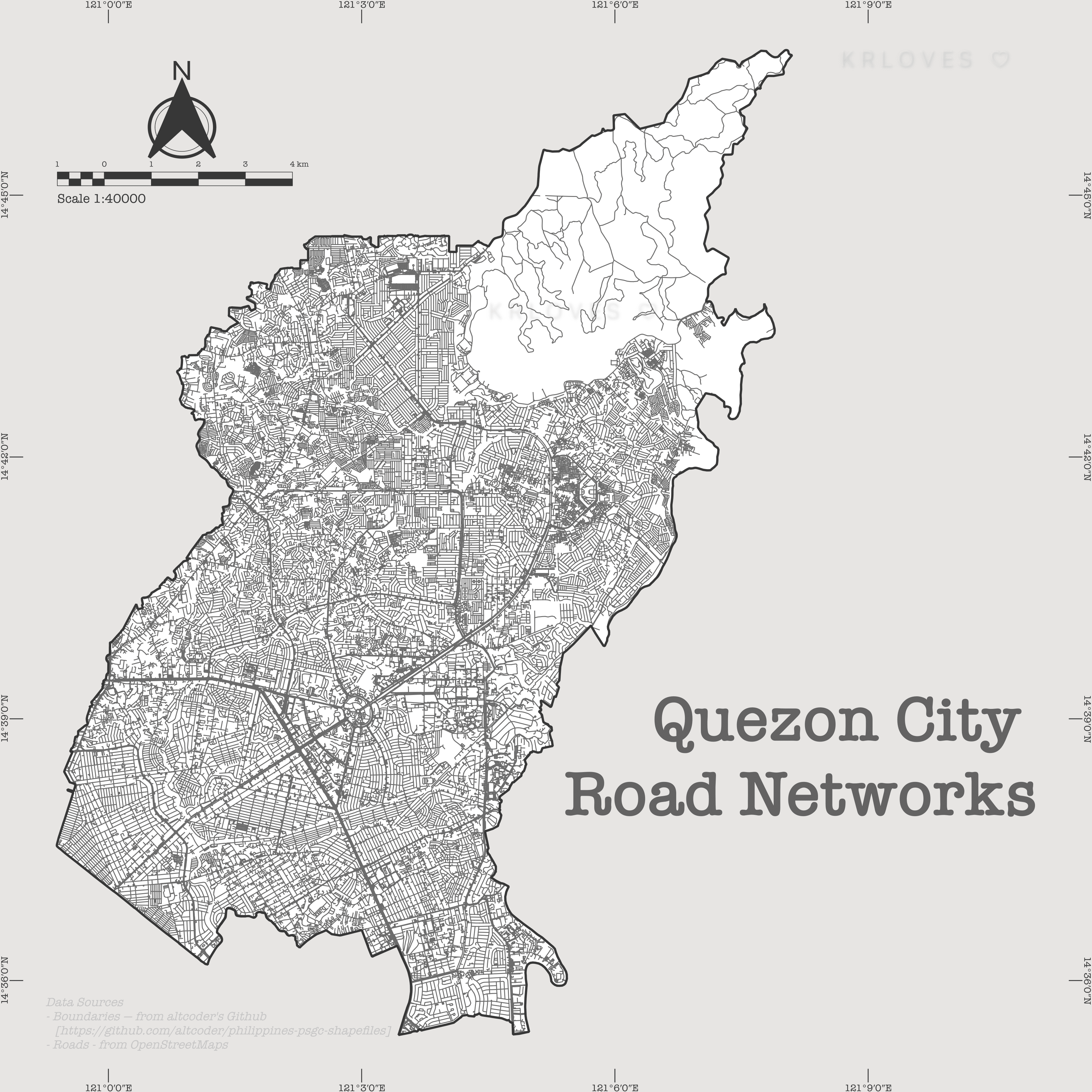
Here's Quezon City (again 😄) and the snapshot of the road networks that keep QCitizens moving. These roads were extracted using QuickOSM plugin in QGIS—my go-to tool whenever local data isn't available (or isn't open to the public).
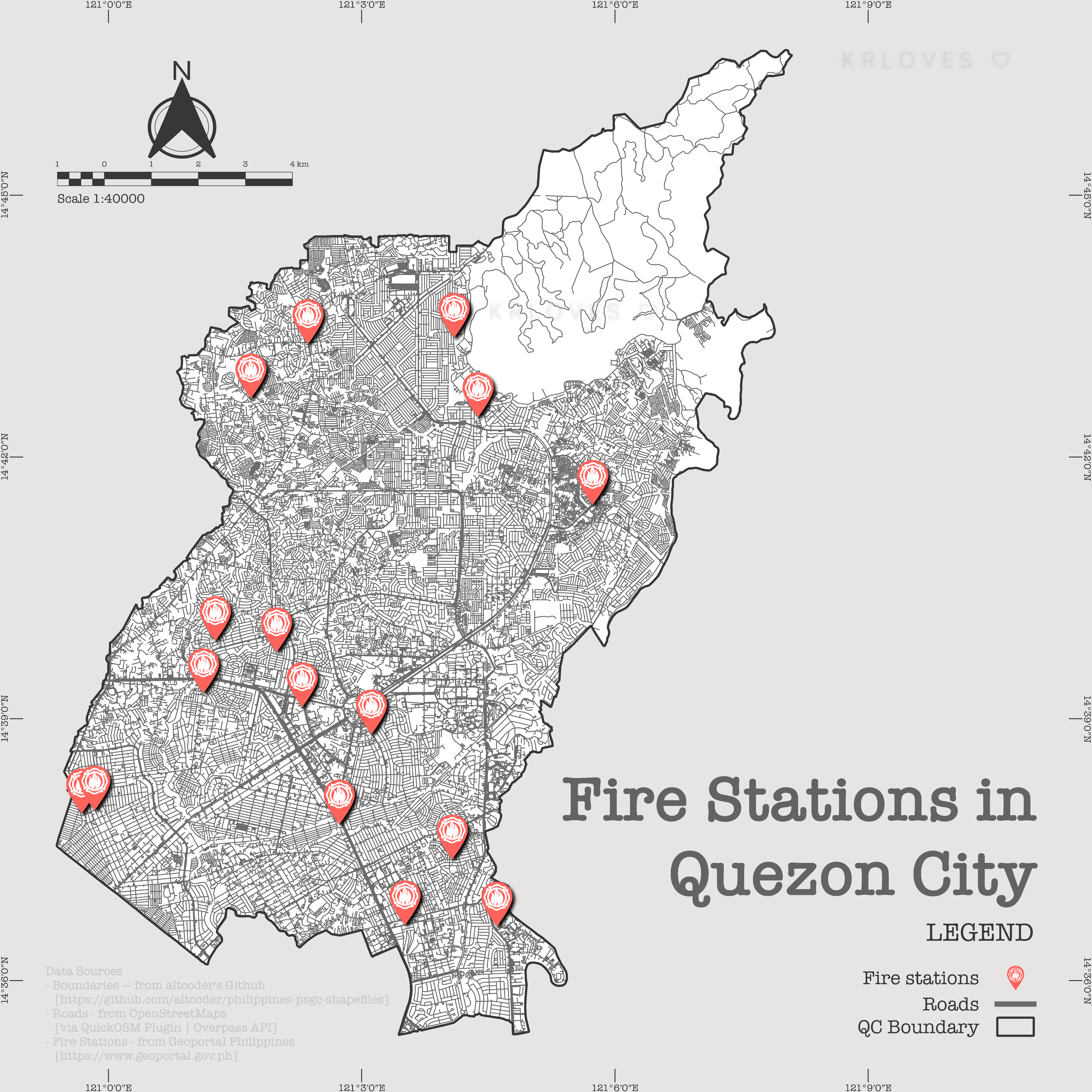
Overlaid 🔥 fire station locations on yesterday's map 🗺️ :D Hmmm…
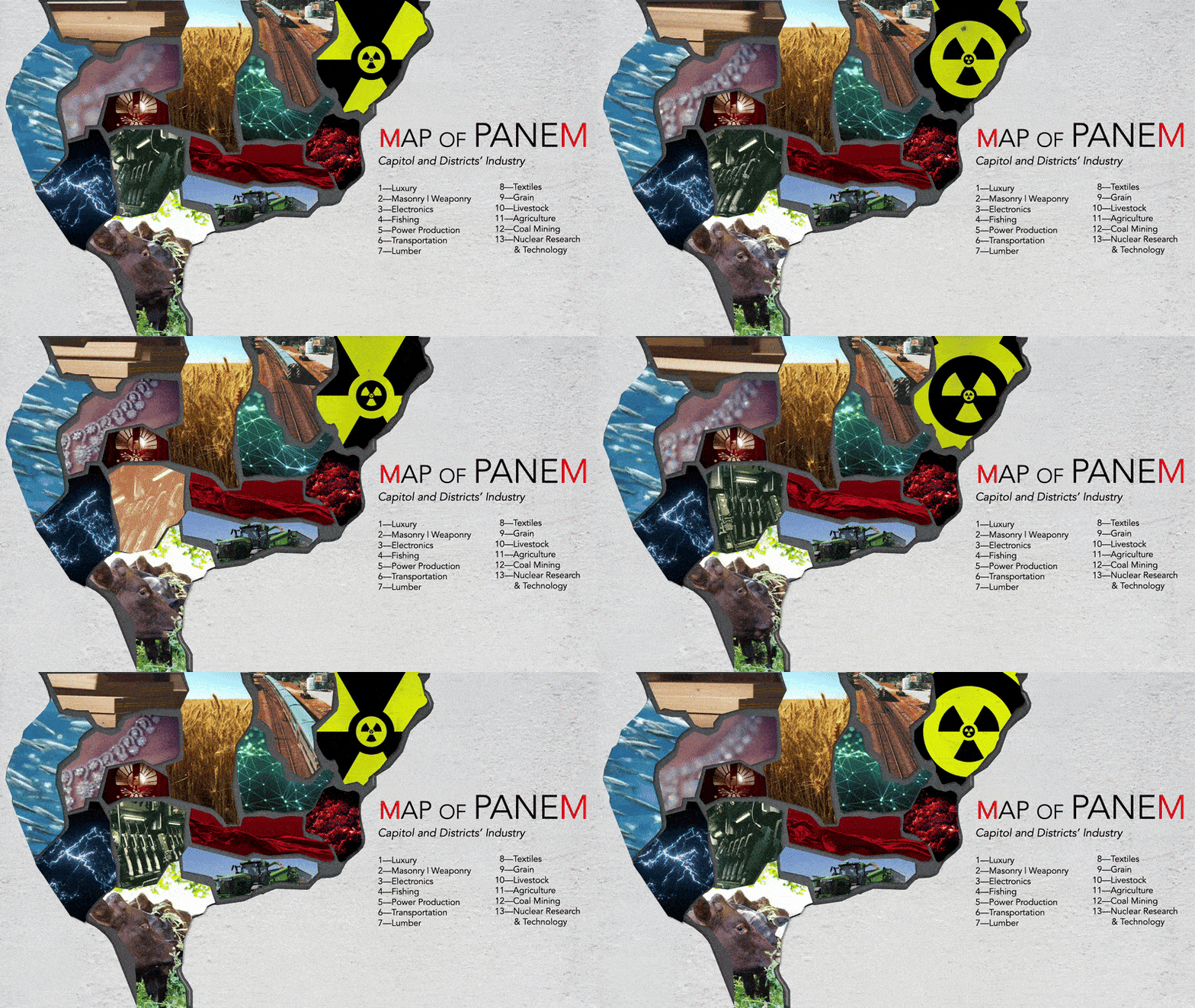
Happy Hunger Games!! :D